Mont Serrat GR96
Hiking in Europe can be a bit confusing to the unexperienced traveller because hiking trails across nations are interconnected and given one name, so hikers need to know the name of the local section of the hiking trail they are intending to hike to get more detailed instructions. To me, Judy Fong, who had never hiked on the European mainland before, it seemed like there were only a few hiking paths which all had the same name but to the experienced traveller it's just that the Europeans have really long trails. So to me, it seemed hard to figure out where one starts, but in Europe trails do not seem to have a trailhead, also known as, a start of the trail. Rather trails go from destination to destination. Luckily there is a wikipedia article to help understand the basic European hiking signage on the trails.
Preparation
I went hiking with a friend in January. We brought backpacks and layered clothing to protect against the sun and to remove layers when needed. We started in Barcelona. Then we took the train (R5) and got off at Monistrol de Montserrat station. Many people get off one stop before, Aeri de Montserrat, to ride the cable car up the mountain. Between stops, we were nearly alone. But as we wanted to hike, we had to wait one more stop and get off at Monistrol de Montserrat. Only a handful of people got off with us.
Getting to the hike
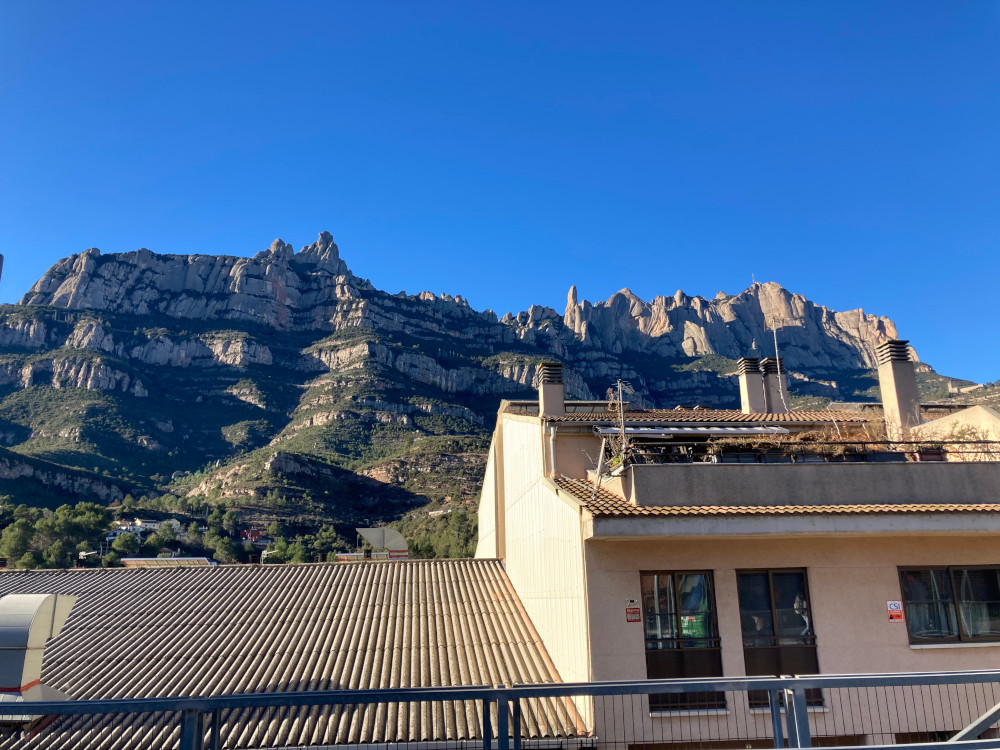
Monistrol de Montserrat station has public bathrooms which you can use before continuing on your journey.
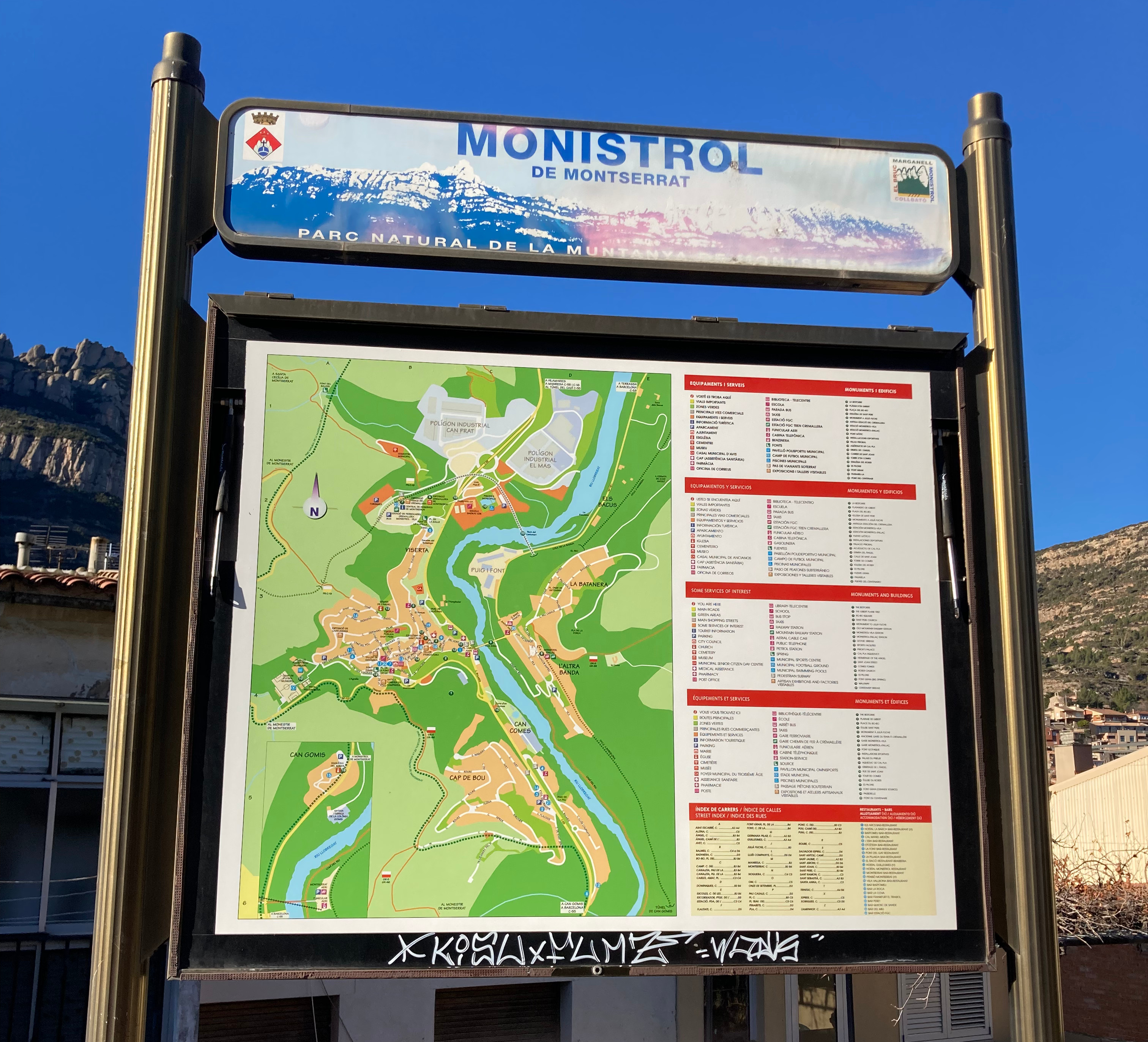
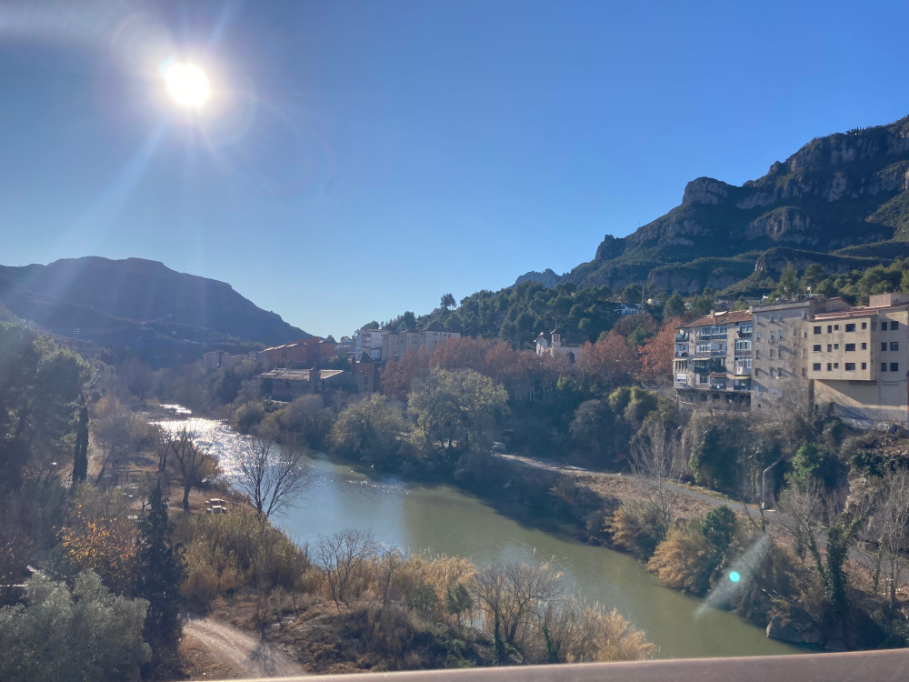 After leaving the station, you cross a bridge
called Pont Gotic. There is a small portion where you take some stairs
underground to cross the road.
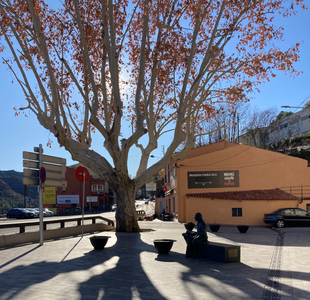 Right past the stairs is a convenience shop where you can load up on snacks. To
the left of the convenience shop, is a road that leads you into town. You take
this road because the start of the GR96 trail is at the end of this road on the
other side of the town. A little before the signage for the trail appears,
you'll cross the Bar La Roca, a local restaurant.
Starting the hike
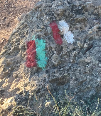
At the start of the hike are three signs. One is labelled IP-6. Another is a huge picture and the third is a small green sign with a little white and red flag to indicate the hike. The wall also has parallel white and red paint marks. The IP-6 sign says the hike will be approximately 4 km which will take about 1 hour and 30 mins. The starting point is Monistrol de Montserrat and the end point is Monestir de Montserrat, with an elevation change of 659 meters.
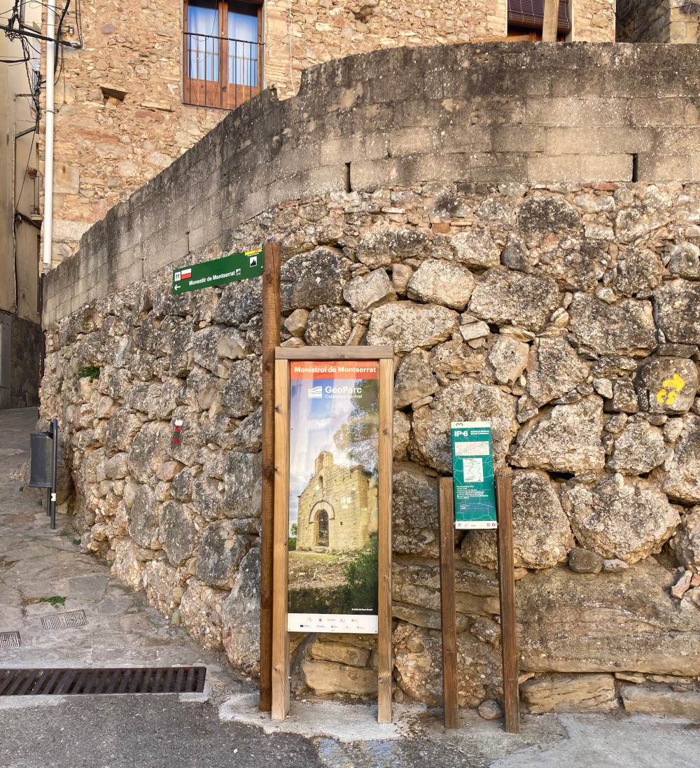
Mont Serrat GR96
A little futhur in the hike is a sign with warnings of do's and don'ts while hiking here from the local authorities. When the white line intersects with the red line then that indicates that route is not part of the hiking trail. This can be seen during several points along the trail.
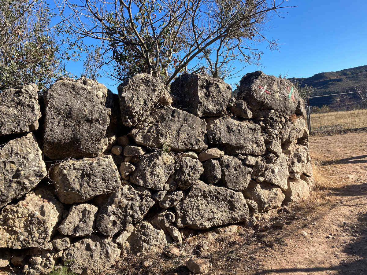
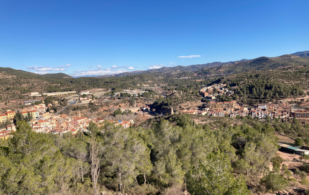
About 15 minutes into the hike, the trail will split into GR 96 and GR 5. They take the same amount of time to get to the monastery. But, this is a guide about GR 96 so follow that sign.
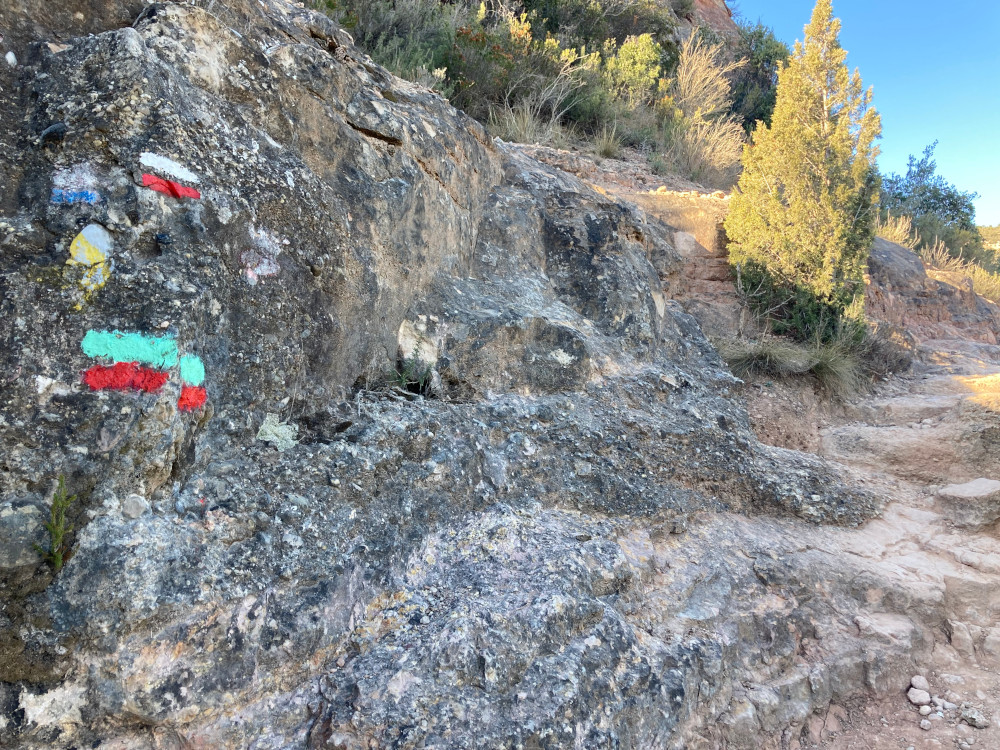
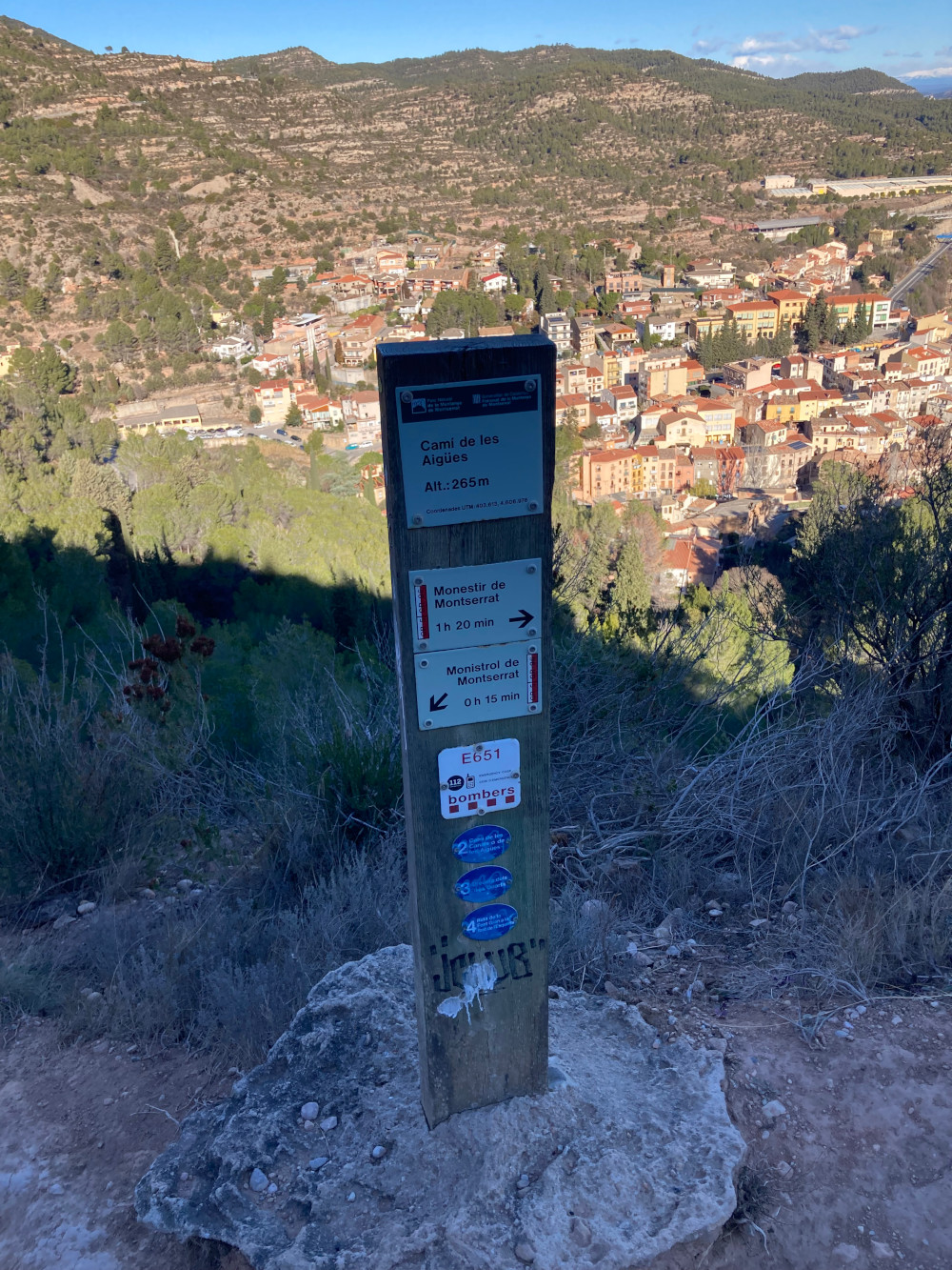
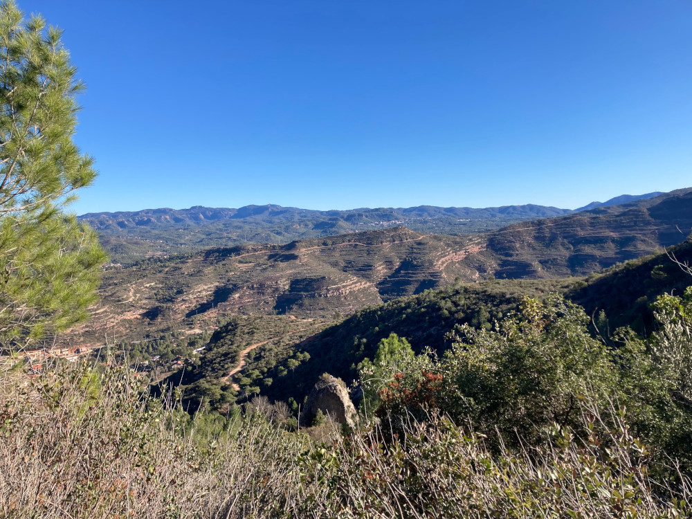
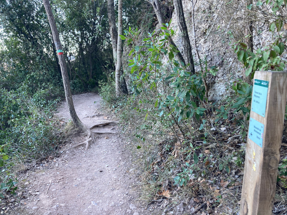
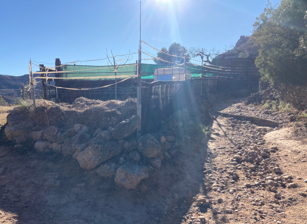
The trail is a bit rocky and quite sunny but otherwise well marked and well maintained.
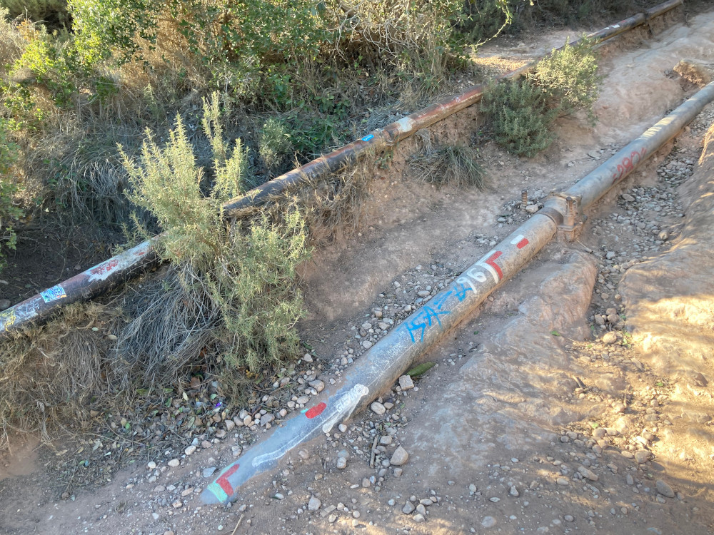
In the last half of the trail are pipes. Then, when you get to the L shaped
trail markings, you follow the pipes. These lead to what feels like endless
stairs.
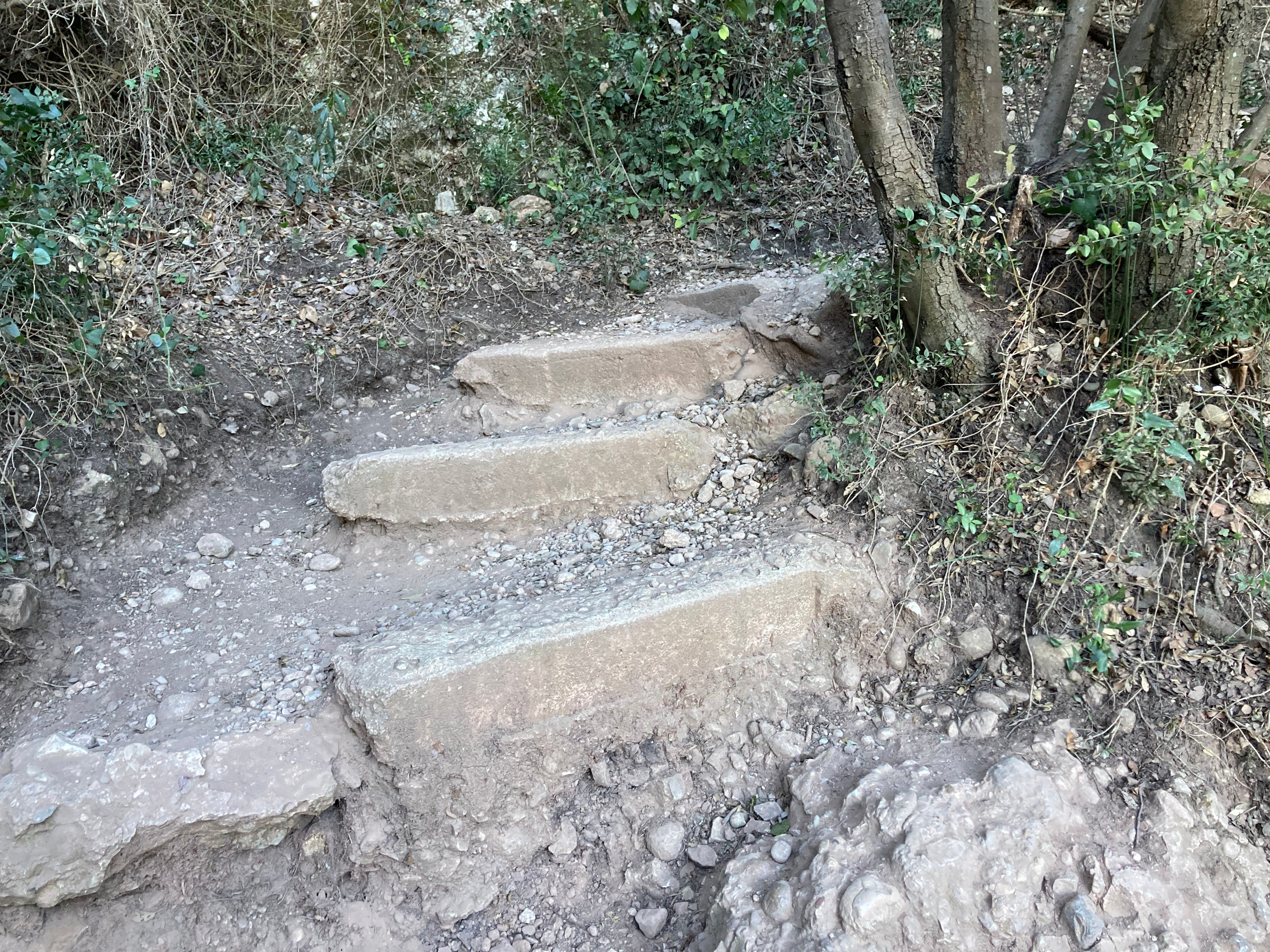
Then you'll have arrived at the bottom of the monastery which has more stairs, but less steep.
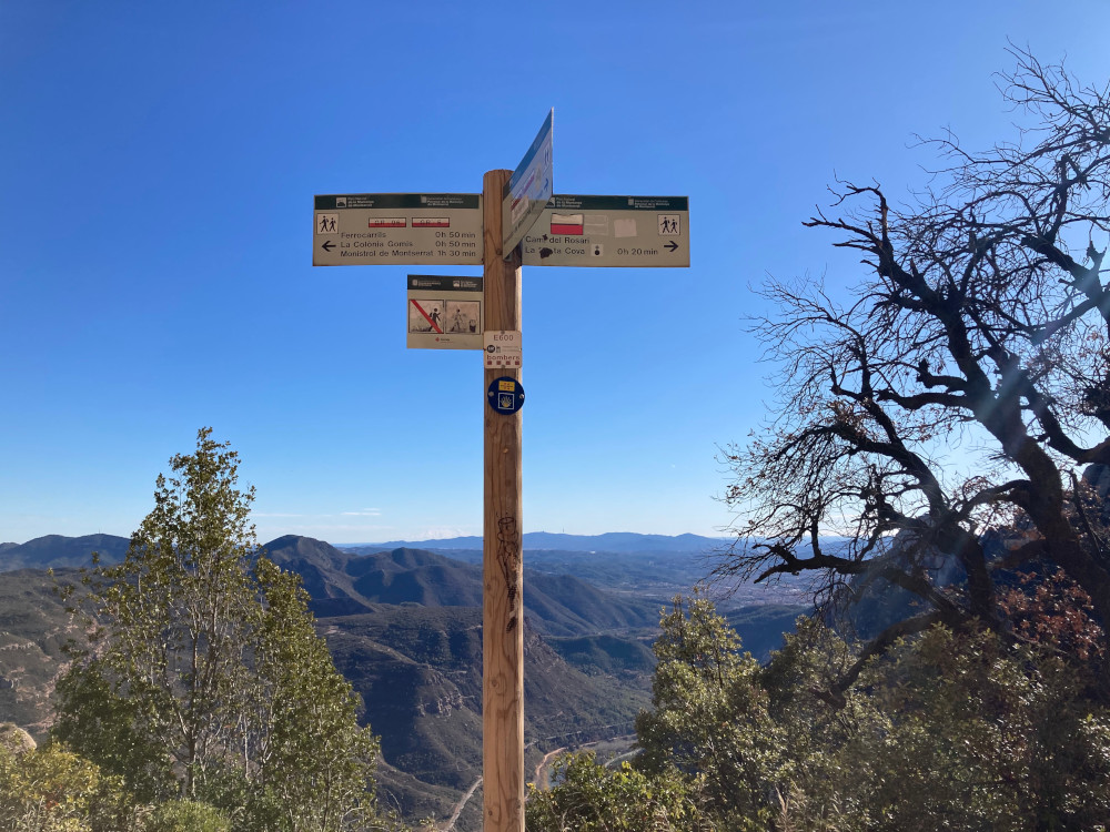
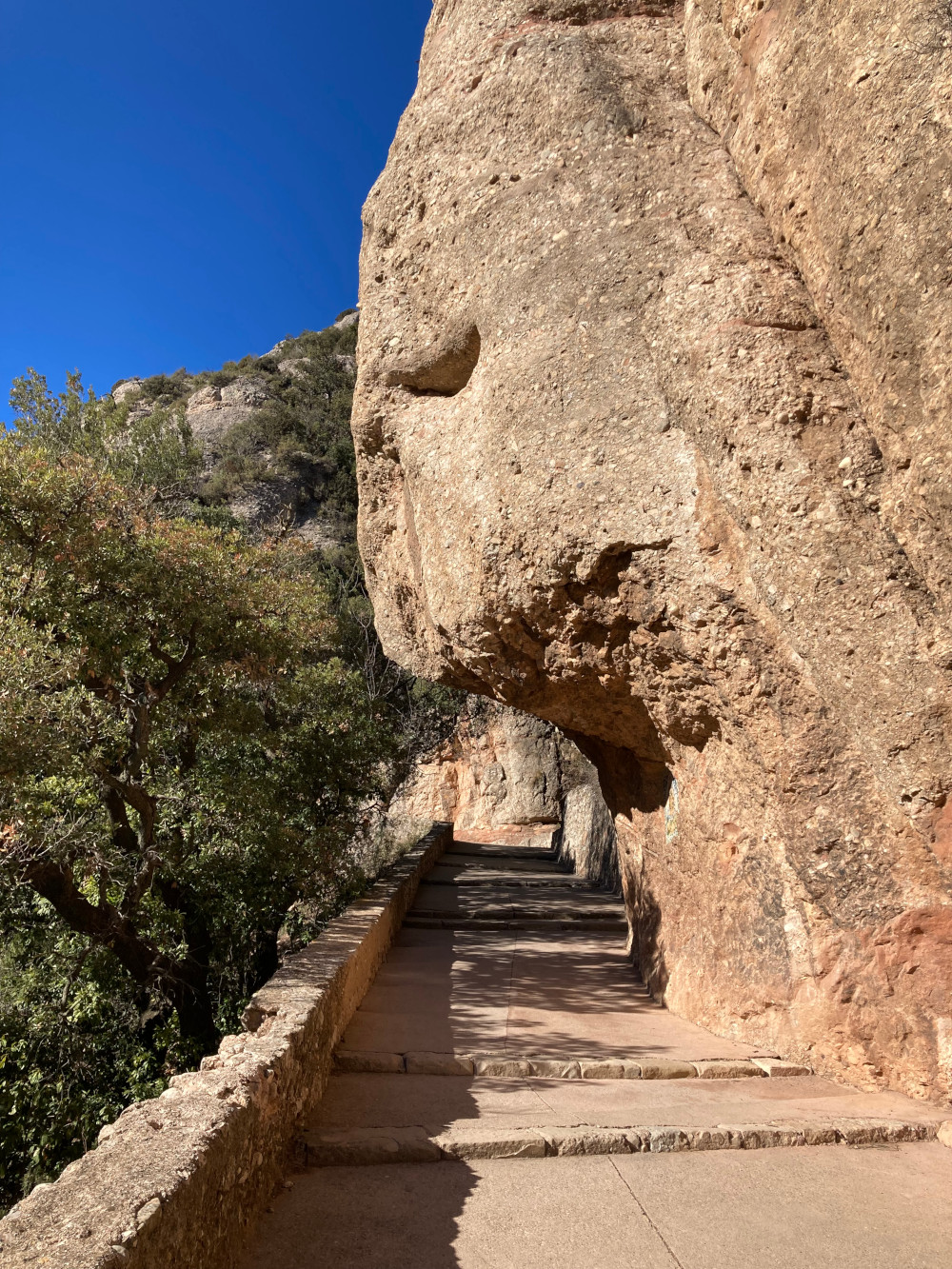
Montserrat monastery / Monestir de Montserrat
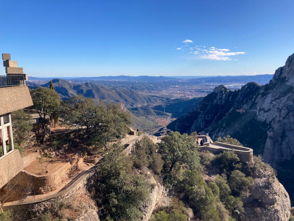
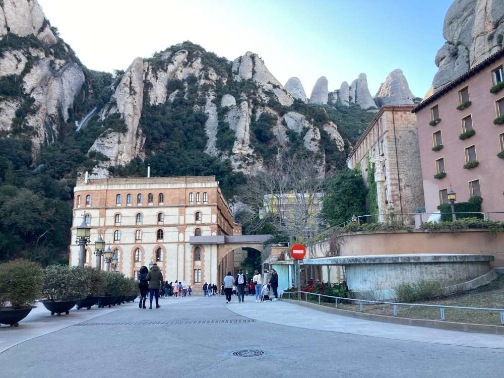
The view from the monastery is absolutely stunning. Now you can wander around, perhaps buy some custard tarts from the local vendors, before heading back down.

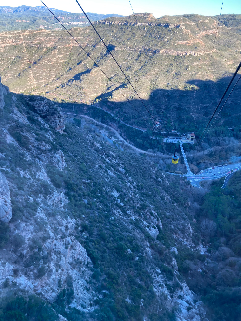 We took the cable car back down the mountain. It took only a few minutes.
All in all, the trip took us five hours. So set aside half a day to enjoy Monserrat.
Another guide to hiking up Montserrat can be found at Earth Trekkers. To learn more about the European GR (Grandes Randonnees - French for Long Hikes) footpaths in France you can go to gr-infos.